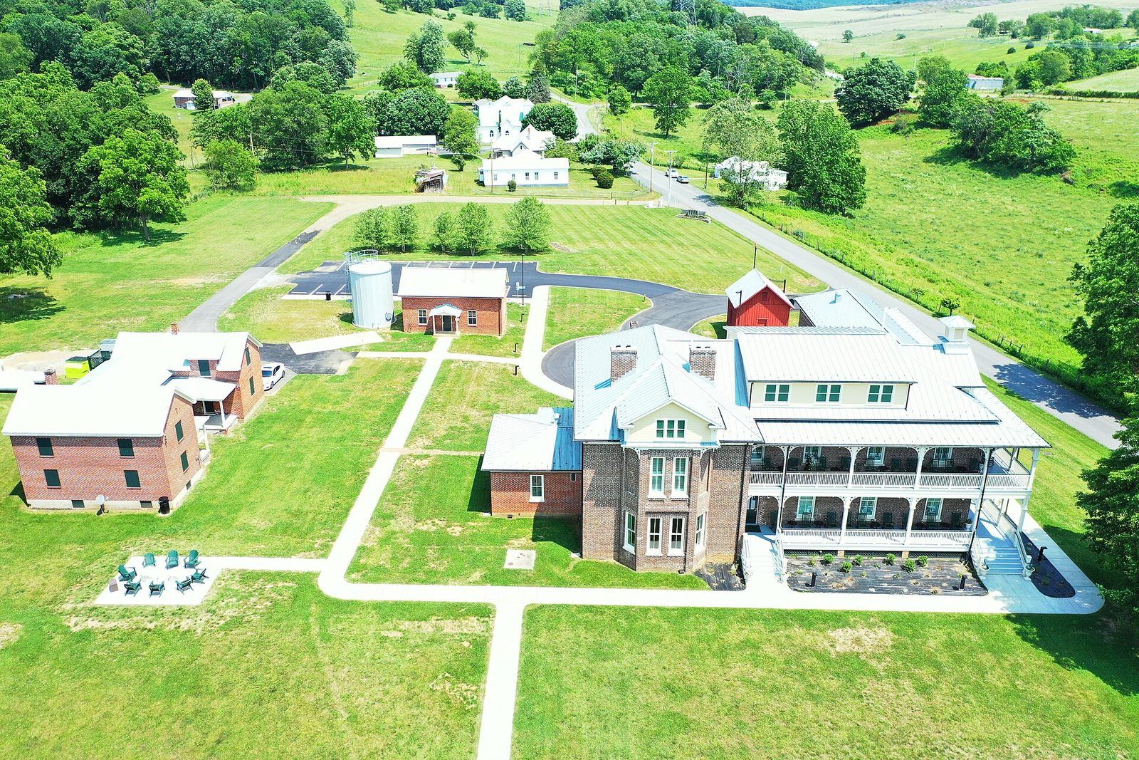
Credit
Photo: vastateparksstaff /
CC BY 2.0 ·
Wikimedia CommonsGetting around Harrisonburg Metro
Transit, drive-time reality, greenways, airports, rail, and daily mobility tradeoffs.
Area mobility
Harrisonburg City
James Madison University keeps downtown busy year-round. A walkable, diverse small city with the Valley's best food scene.
Use the address checker for nearby grocery, pharmacy, parks, schools, and health access.
Open area guide →
Area mobility
Rockingham County
The Valley's agricultural heart: Bridgewater, Elkton, and Broadway, with Massanutten ski slopes and two national forests on the county line.
Use the address checker for nearby grocery, pharmacy, parks, schools, and health access.
Open area guide →
Use this page as a starting point, then open the area guides for the underlying numbers and source notes.
Run the moving calculator →
Get the local newsletter
A short, occasional email about Harrisonburg Metro, pick what you
want to hear about. No spam; unsubscribe anytime.
Sources and freshnessLast rebuilt 2026-09-14 with public records and source notes for Getting around Harrisonburg Metro.
- Last rebuilt 2026-09-14 from the latest records synced into this guide.
- Home-price medians use 4,818 recorded public sale rows across 2 areas.
- Property and tax figures come from county/city parcel, sales, and assessor records.
- School metrics use Virginia Department of Education profiles when available.
- Amenity and business counts use OpenStreetMap, so hours and listings can change.
- Jobs, events, news, and business-directory layers are included only after their feeds or curated sources sync.
- Use these figures as planning estimates, then verify taxes, listings, and school details before making an offer.
Also exploring Southwest Virginia?
This page is focused on Harrisonburg Metro. Open a neighboring guide when your search crosses into another part of the region.
